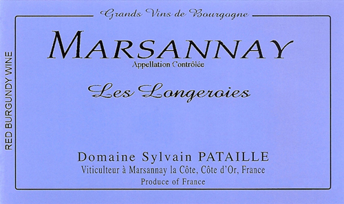
Marsannay Les Longeroies
At a Glance
- Size: 0.83 ha (2.05 ac)
- Variety: Pinot Noir
- Vine Age: 2/3 planted in the early 2000s, 1/3 planted in the mid-1950s
- Terroir: In Bas des Longeroies; Moderate slope facing southeast. Well-draining, gravelly, light reddish-brown to tan soils. 275-meters elevation.
- Viticulture: Organic (certified Ecocert), biodynamic methods
- Vinification: 100% whole-cluster pressing, indigenous yeast fermentation, gentle extraction. Aged for 18 months in barrel (15% new), low sulfur additions only at bottling.
Additional Info
Etymology: Longeroies is a combination of the words longe meaning “long and narrow.” Roie means “furrow,” a long narrow trench made in the ground by a plow.
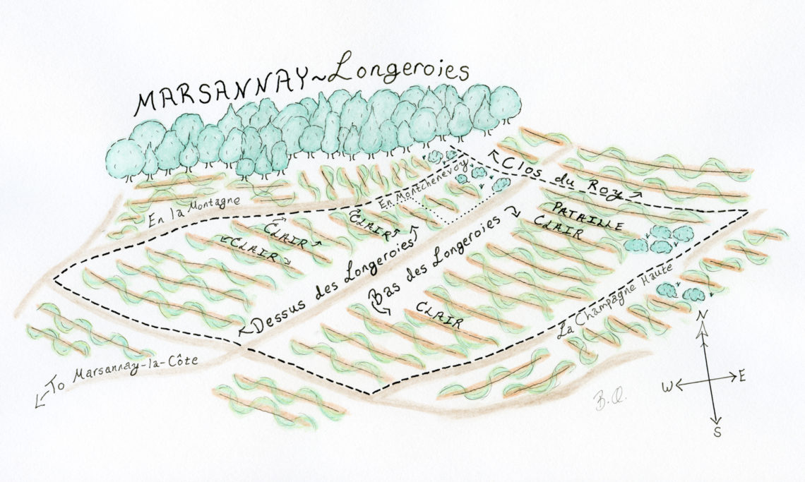
Site: Les Longeroies is a very large vineyard spanning a kilometer from north to south. It is divided into three parcels: Dessus des Longeroies, Bas des Longeroies, and En Montchenevoy. The three parcels total 36 hectares (89 acres). Sylvain’s Longeroies is located in Bas des Longeroies (18.5 ha or 46 ac), which is considered the best part of the vineyard for red wine. The vineyard sits at 275-meters elevation. The slope is moderate. It faces southeast.
Geology: The northern portion of Marsannay rests on a large block of rock that has been literally “down-dropped”, meaning that the slope is made up of younger rocks are usually found at the very top of the slopes. These rocks include the White Oolite at the top of the vineyard and the hard, pink Prémeaux limestone. Comblanchien limestone is located just above the vineyard and is included in the slopewash found below. The middle and lower portions of Bas Longeroies also include sandy marl and ancient alluvium from the old Ouche riverbed (It now runs further east).
Soil: The soils are thinner at the top (30-40 cm) and deeper at the bottom of the slope (70-80 cm). In general, the soil of Bas Longeroies is gravelly, and light reddish-orange to tan in color. The soils here contain a mixture of many different types of limestone coming from many different places. The western portion of the vineyard is dominated by the limestone found upslope and from the combe to the southwest, whereas the eastern portion of the vineyard at the bottom of the slope is dominated by the ancient alluvium from the Ouche river. Sylvain’s parcel runs from the bottom to the top of Bas des Longeroies and includes both types of soils.
With many thanks to geologist Brenna Quigley for her illustration, and for putting the physical and geologic aspects of these vineyards into words far more meaningful than we could have written on our own. https://www.brennaquigley.com
We are also greatly indebted to geologist Françoise Vannier of Adama Terroirs Viticoles who created the soil and bedrock maps for Fixin that Brenna based part her work on. www.adama-terroirs.fr


